
Chavara topographic map
Interactive map
Click on the map to display elevation.
About this map
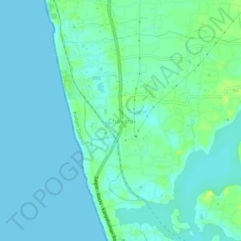
Name: Chavara topographic map, elevation, terrain.
Location: Chavara, Karunagappally, Kollam, Kerala, 698582, India (8.95540 76.51484 8.99540 76.55484)
Average elevation: 4 m
Minimum elevation: 0 m
Maximum elevation: 14 m