Geolocate

Batiawan topographic map

Click on the map to display elevation.

About this map

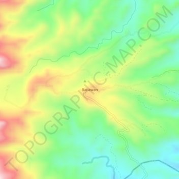
Name: Batiawan topographic map, elevation, terrain.

Location: Batiawan, Subic, Zambales, Central Luzon, Philippines (14.91086 120.39058 14.95086 120.43058)

Average elevation: 236 m

Minimum elevation: 66 m

Maximum elevation: 493 m

Gear up for your next adventure:

🥾Mountaineering Boots - Supportive boots for climbing and high-altitude hiking
🧦Outdoor Socks - Durable socks designed for hiking and outdoor sports
🛰️Satellite Messenger - Emergency communication for areas with no cell service
🔦LED Headtorch - Bright and durable light for night activities
Camping Groundsheet - Protect your tent from moisture and dirt

As an Amazon Associate, this site earns from qualifying purchases at no extra cost to you.