
Snake River topographic map
Click on the map to display elevation.
Snake River
Mountain ranges in the Snake watershed include the Teton Range, Bitterroot Range, Clearwater Mountains, Seven Devils Mountains, and the extreme northwestern end of the Wind River Range. Grand Teton is the highest point in the Snake River watershed, reaching 13,775 feet (4,199 m) in elevation. The elevation of the Snake River is 358 feet (109 m) when it joins the Columbia River.
About this map
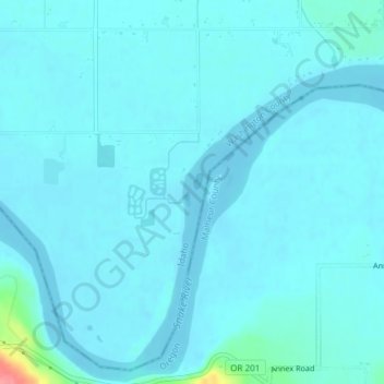
Name: Snake River topographic map, elevation, terrain.
Location: Snake River, Washington County, Idaho, United States (44.24055 -117.04422 44.24207 -117.04351)
Average elevation: 643 m
Minimum elevation: 635 m
Maximum elevation: 721 m