Geolocate

Lane City topographic map

Click on the map to display elevation.

About this map

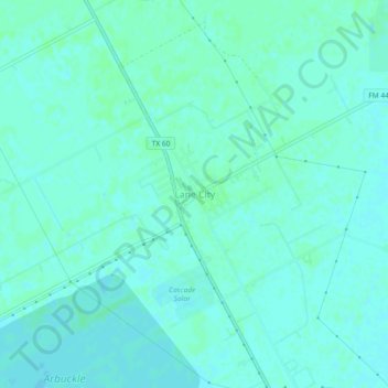
Name: Lane City topographic map, elevation, terrain.

Location: Lane City, Wharton County, Texas, 77453, United States (29.19608 -96.04635 29.23608 -96.00635)

Average elevation: 27 m

Minimum elevation: 24 m

Maximum elevation: 30 m

Gear up for your next adventure:

🧭GPS Outdoor Watch - Smart watch for navigation and fitness tracking in nature
💧Reusable Water Bottle - Durable water bottles for hydration on trails
🥾Trail Hiking Shoes - Durable shoes designed for rugged trails
🧦Hiking Liner Socks - Thin base layer to prevent friction and blisters
📷Outdoor Action Camera - Capture high-elevation views and rugged adventures

As an Amazon Associate, this site earns from qualifying purchases at no extra cost to you.