Geolocate

Packwood topographic map

Click on the map to display elevation.

About this map

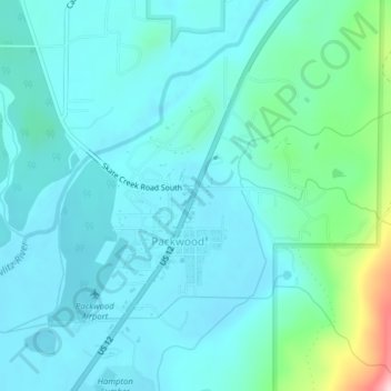
Name: Packwood topographic map, elevation, terrain.

Location: Packwood, Lewis County, Washington, United States (46.59983 -121.68506 46.61942 -121.65582)

Average elevation: 350 m

Minimum elevation: 309 m

Maximum elevation: 563 m

Gear up for your next adventure:

🥾Waterproof Hiking Boots - Essential footwear for rugged terrain and wet Canadian trails
🛶Canoe Life Vest - Safety vest for water sports
🥾Waterproof Hiking Boots - Boots keeping your feet dry in wet conditions
🎒Backpack Rain Cover - External shield to keep your entire pack dry
💡Compact LED Flashlight - Powerful and portable flashlight for outdoor use

As an Amazon Associate, this site earns from qualifying purchases at no extra cost to you.