Geolocate

Pflugerville topographic map

Click on the map to display elevation.

About this map

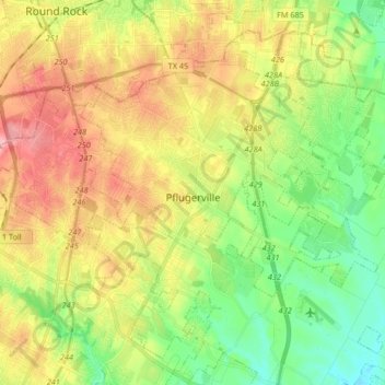
Name: Pflugerville topographic map, elevation, terrain.

Location: Pflugerville, Travis County, Texas, United States (30.38142 -97.66882 30.50066 -97.50314)

Average elevation: 215 m

Minimum elevation: 158 m

Maximum elevation: 289 m

Gear up for your next adventure:

🛁Quick-Dry Microfiber Towel - Space-saving towel that dries rapidly on the move
🧦Hiking Socks - Moisture-wicking and comfortable socks for long hikes
🚲Heavy Duty Bike Lock - Secure your bike at the trailhead or during stops
🧭Orienteering Kit - Tools for map reading and navigation in the wild
🧦Merino Wool Socks - Moisture-wicking comfort for long-distance hiking

As an Amazon Associate, this site earns from qualifying purchases at no extra cost to you.