Geolocate

Mary Esther topographic map

Click on the map to display elevation.

About this map

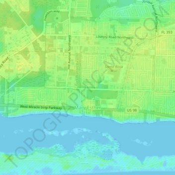
Name: Mary Esther topographic map, elevation, terrain.

Location: Mary Esther, Okaloosa County, Florida, United States (30.40644 -86.68184 30.42136 -86.64079)

Average elevation: 8 m

Minimum elevation: -6 m

Maximum elevation: 17 m

Gear up for your next adventure:

🥾Mountain Hiking Boots - High-traction boots for rocky terrain
🧢Sun Hat - Wide-brim hat for sun protection
🕯️Camping Lantern - Illuminates your entire campsite with high-efficiency LEDs
🥾Hiking Gaiters - Protect legs and shoes from mud, snow, and debris
🔭Compact Monocular - One-handed bird watching and trail spotting

As an Amazon Associate, this site earns from qualifying purchases at no extra cost to you.