Geolocate

Birch Bay topographic map

Click on the map to display elevation.

About this map

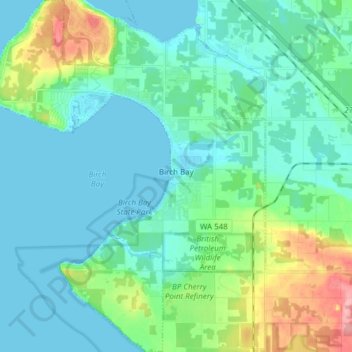
Name: Birch Bay topographic map, elevation, terrain.

Location: Birch Bay, Whatcom County, Washington, United States (48.86935 -122.82263 48.96936 -122.70438)

Average elevation: 21 m

Minimum elevation: -2 m

Maximum elevation: 104 m

Other topographic maps

Click on a map to view its topography, its elevation and its terrain.

Gear up for your next adventure:

🔦LED Flashlight - Powerful and long-lasting flashlight for camping and emergencies
💡Portable Camping Lamp - Rechargeable lamp for campsite lighting
🥾Mountain Hiking Shoes - Shoes with superior grip for mountainous terrain
🧼Biodegradable Camp Soap - Environmentally friendly cleaning for gear and body
🔥Camping Stove - Portable stoves to cook outdoors with ease

As an Amazon Associate, this site earns from qualifying purchases at no extra cost to you.