Geolocate

Kundli topographic map

Click on the map to display elevation.

About this map

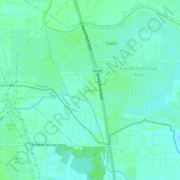
Name: Kundli topographic map, elevation, terrain.

Location: Kundli, Sonipat, Haryana, 131028, India (28.84967 77.09982 28.88967 77.13982)

Average elevation: 213 m

Minimum elevation: 209 m

Maximum elevation: 217 m

Gear up for your next adventure:

🧴Outdoor Sunscreen - High SPF protection for high-altitude UV exposure
🦯Trekking Poles - Reduced impact on joints for steep topographic climbs
💡Solar Camping Lamp - Eco-friendly lighting for campsites
🧦Crew Hiking Socks - Comfortable socks for long-distance hikes
🥾Waterproof Trail Shoes - Shoes designed to handle wet terrain

As an Amazon Associate, this site earns from qualifying purchases at no extra cost to you.