Geolocate

Massanzago topographic map

Click on the map to display elevation.

About this map
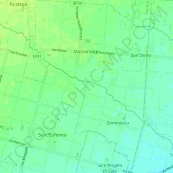
Name: Massanzago topographic map, elevation, terrain.

Location: Massanzago, Province of Padua, Veneto, 35010, Italy (45.51956 11.98044 45.57067 12.03384)

Average elevation: 17 m

Minimum elevation: 11 m

Maximum elevation: 23 m

Other topographic maps

Click on a map to view its topography, its elevation and its terrain.

Isoletta

Italy > Veneto > Province of Padua > Piove di Sacco > Corte

Average elevation: 2 m

Villatora

Italy > Veneto > Province of Padua

Average elevation: 10 m

Gear up for your next adventure:

🥾Trail Running Boots - Durable shoes designed for trail running
💡Portable Camping Lamp - Rechargeable lamp for campsite lighting
🔦UV Flashlight - Detect minerals or specific insects in the dark
🥤Collapsible Travel Cup - Saves space and weight in your mess kit
🔋Emergency Crank Radio - Weather alerts and power without needing batteries

As an Amazon Associate, this site earns from qualifying purchases at no extra cost to you.