Geolocate

Spring Valley topographic map

Click on the map to display elevation.

About this map

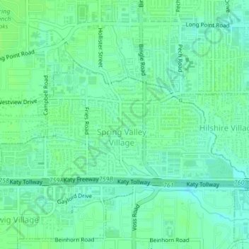
Name: Spring Valley topographic map, elevation, terrain.

Location: Spring Valley, Harris County, Texas, United States (29.78338 -95.52027 29.79882 -95.48639)

Average elevation: 25 m

Minimum elevation: 20 m

Maximum elevation: 29 m

Other topographic maps

Click on a map to view its topography, its elevation and its terrain.

Cypress

United States > Texas > Harris County

Average elevation: 46 m

Discovery Green

United States > Texas > Harris County > Houston

Average elevation: 16 m

Memorial Park

United States > Texas > Harris County > Houston

Average elevation: 21 m

Gear up for your next adventure:

🎒Hiking Backpack - Lightweight and ergonomic backpacks for day hikes or multi-day treks
👟Sport Hiking Sandals - Breathable footwear for water crossings and camp rest
🧢Sun Hat - Wide-brim hat for sun protection
🧥Fleece Jacket - Warm and lightweight jacket for layering
🥾Waterproof Hiking Boots - Boots keeping your feet dry in wet conditions

As an Amazon Associate, this site earns from qualifying purchases at no extra cost to you.