Geolocate

Arnia topographic map

Click on the map to display elevation.

About this map

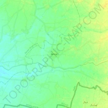
Name: Arnia topographic map, elevation, terrain.

Location: Arnia, Bishnah, Jammu, Jammu and Kashmir, 181131, India (32.48032 74.75857 32.56032 74.83857)

Average elevation: 271 m

Minimum elevation: 262 m

Maximum elevation: 280 m

Gear up for your next adventure:

Camping Tent - Weather-resistant tents suitable for 2 to 6 people
🥾Mountaineering Boots - Supportive boots for climbing and high-altitude hiking
🧢Beanie Hat - Keep your head warm in cold weather
Bushcraft Tarp - Versatile emergency shelter or gear protection
🚲MTB Frame Bag - Carry tools and maps directly on your bicycle frame

As an Amazon Associate, this site earns from qualifying purchases at no extra cost to you.