Geolocate

San Tammaro topographic map

Click on the map to display elevation.

About this map
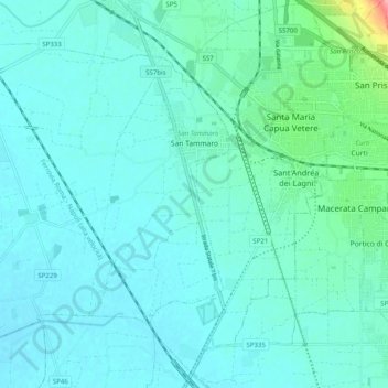
Name: San Tammaro topographic map, elevation, terrain.

Location: San Tammaro, Caserta, Campania, Italy (41.03647 14.14096 41.09551 14.24047)

Average elevation: 25 m

Minimum elevation: 10 m

Maximum elevation: 118 m

Other topographic maps

Click on a map to view its topography, its elevation and its terrain.

Talanico

Italy > Campania > Caserta > San Felice a Cancello

Average elevation: 308 m

Mezzano

Italy > Campania > Caserta > Caserta

Average elevation: 207 m

Gear up for your next adventure:

🛌Down Sleeping Bag - Superior warmth-to-weight ratio for cold nights
🛏️Camping Sleeping Mat - Comfortable mats for sleeping outdoors
🔨Vehicle Emergency Tool - Safety tool for remote road trips to trailheads
🧢Sun Protection Cap - Breathable cap to protect from sun exposure
🧢Outdoor Visor - Breathable visor for sunny hikes

As an Amazon Associate, this site earns from qualifying purchases at no extra cost to you.