Geolocate

Junction topographic map

Click on the map to display elevation.

About this map

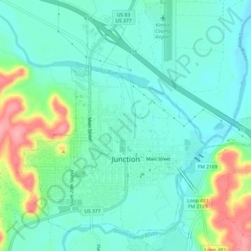
Name: Junction topographic map, elevation, terrain.

Location: Junction, Kimble County, Texas, 76849, United States (30.47801 -99.78970 30.51054 -99.74622)

Average elevation: 532 m

Minimum elevation: 503 m

Maximum elevation: 614 m

Gear up for your next adventure:

🪑Ultralight Camping Stool - Compact seating for rest stops during long hikes
🧣Merino Neck Gaiter - Protects against wind, sun, and cold at high altitudes
🪜Heavy Duty Carabiners - Multi-use clips for securing gear to your backpack
Camping Tent - Weather-resistant tents suitable for 2 to 6 people
👟Sport Hiking Sandals - Breathable footwear for water crossings and camp rest

As an Amazon Associate, this site earns from qualifying purchases at no extra cost to you.