
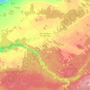
Saint-Édouard-de-Lotbinière topographic map
Interactive map
Click on the map to display elevation.
About this map
Name: Saint-Édouard-de-Lotbinière topographic map, elevation, terrain.
Average elevation: 75 m
Minimum elevation: 1 m
Maximum elevation: 119 m
Lotbinière (MRC) trails, hiking, mountain biking, running and outdoor activities