Stirling topographic map
Click on the map to display elevation.
Stirling
Many deciduous trees, particularly the maple, elm, oak and ash trees, have been imported from Europe and North America. These trees flourish in Stirling's wet and mild to cool climate and are a popular tourist attraction in the autumn months (April–May), bringing rich and vibrant autumn leaf colour to the town. Some Australian cities are too warm (even in the autumn and winter months) to accommodate and produce maple trees, but some temperate regions along the eastern coast and towns at higher altitudes flourish in colour during autumn, rivalling those in North America, Europe and Japan.
About this map
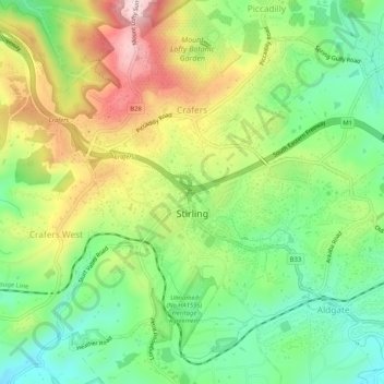
Name: Stirling topographic map, elevation, terrain.
Average elevation: 504 m
Minimum elevation: 378 m
Maximum elevation: 686 m
Other topographic maps
Click on a map to view its topography, its elevation and its terrain.