Geolocate

Arties topographic map

Click on the map to display elevation.

About this map
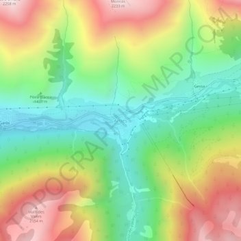
Name: Arties topographic map, elevation, terrain.

Location: Arties, Naut Aran, Val d'Aran, Lleida, Catalonia, 25539, Spain (42.68005 0.85207 42.72005 0.89207)

Average elevation: 1,568 m

Minimum elevation: 1,096 m

Maximum elevation: 2,217 m

Gear up for your next adventure:

🧼Travel Hand Sanitizer - Keep hands clean when water is scarce
🔭Outdoor Binoculars - Lightweight binoculars for birdwatching and hiking
❄️Traction Ice Cleats - Slip-on spikes for icy trails and winter hiking
🧭GPS Tracker - Track your location in remote areas safely
🧭GPS Handheld Device - Reliable GPS navigation for outdoor adventures

As an Amazon Associate, this site earns from qualifying purchases at no extra cost to you.