Geolocate

Copper Hill topographic map

Click on the map to display elevation.

About this map

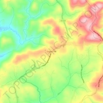
Name: Copper Hill topographic map, elevation, terrain.

Location: Copper Hill, Floyd County, Virginia, 24079, United States (37.06180 -80.15421 37.10180 -80.11421)

Average elevation: 834 m

Minimum elevation: 732 m

Maximum elevation: 942 m

Gear up for your next adventure:

🥾Waterproof Hiking Boots - Essential footwear for rugged terrain and wet Canadian trails
🛌Insulated Sleeping Pad - Critical thermal barrier between you and the cold ground
🧭GPS Outdoor Watch - Smart watch for navigation and fitness tracking in nature
🥾Waterproof Trail Shoes - Shoes designed to handle wet terrain
🥾Hiking Shorts - Breathable shorts suitable for summer hikes

As an Amazon Associate, this site earns from qualifying purchases at no extra cost to you.