Geolocate

Padang topographic map

Click on the map to display elevation.

About this map

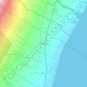
Name: Padang topographic map, elevation, terrain.

Location: Padang, Albay, Bicol Region, 4508, Philippines (13.18907 123.73376 13.22907 123.77376)

Average elevation: 57 m

Minimum elevation: -1 m

Maximum elevation: 259 m

Gear up for your next adventure:

🍽️Titanium Camping Spork - Ultralight and indestructible eating utensil
🥾Approach Shoes - Shoes designed for climbing approaches and rugged trails
🌬️Windproof Camp Stove - Efficient cooking even on exposed mountain peaks
Backpacking Tent - Lightweight tent for long-distance hiking trips
🛰️Satellite Messenger - Emergency communication for areas with no cell service

As an Amazon Associate, this site earns from qualifying purchases at no extra cost to you.