Geolocate

Gore topographic map

Click on the map to display elevation.

About this map

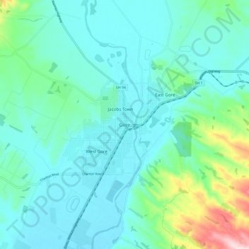
Name: Gore topographic map, elevation, terrain.

Location: Gore, Gore District, Southland, 9740, New Zealand (-46.13845 168.90478 -46.05845 168.98478)

Average elevation: 118 m

Minimum elevation: 61 m

Maximum elevation: 381 m

Gear up for your next adventure:

🧢Hiking Hat - Sun-protective and breathable hats for long treks
🚲MTB Frame Bag - Carry tools and maps directly on your bicycle frame
🕯️Camping Lantern - Illuminates your entire campsite with high-efficiency LEDs
🧤Rechargeable Heated Gloves - Extreme warmth for Canadian winter expeditions
🍽️Titanium Camping Spork - Ultralight and indestructible eating utensil

As an Amazon Associate, this site earns from qualifying purchases at no extra cost to you.