
Marble Hill topographic map
Click on the map to display elevation.
About this map
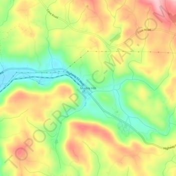
Name: Marble Hill topographic map, elevation, terrain.
Location: Marble Hill, Pickens County, Georgia, 30148, United States (34.41069 -84.35688 34.45069 -84.31688)
Average elevation: 404 m
Minimum elevation: 307 m
Maximum elevation: 502 m