
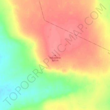
Карамола topographic map
Interactive map
Click on the map to display elevation.
About this map
Name: Карамола topographic map, elevation, terrain.
Location: Карамола, Temir District, Aqtöbe region, Kazakhstan (49.55550 56.46659 49.55560 56.46669)
Average elevation: 306 m
Minimum elevation: 263 m
Maximum elevation: 333 m