Geolocate

Jiwangarh topographic map

Click on the map to display elevation.

About this map
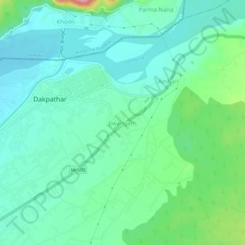
Name: Jiwangarh topographic map, elevation, terrain.

Location: Jiwangarh, Vikasnagar, Dehradun, Uttarakhand, 248198, India (30.47100 77.78669 30.51100 77.82669)

Average elevation: 482 m

Minimum elevation: 445 m

Maximum elevation: 604 m

Gear up for your next adventure:

🧰Emergency Multi-Tool - Compact multi-tool for outdoor survival
🧰Multitool Knife - Compact and versatile tool for outdoor use
🔭Compact Monocular - One-handed bird watching and trail spotting
🥾Mountain Trail Shoes - High-traction shoes for mountain trails
💧Collapsible Water Bottle - Space-saving water bottle for outdoor activities

As an Amazon Associate, this site earns from qualifying purchases at no extra cost to you.