Geolocate

Itagui topographic map

Click on the map to display elevation.

About this map

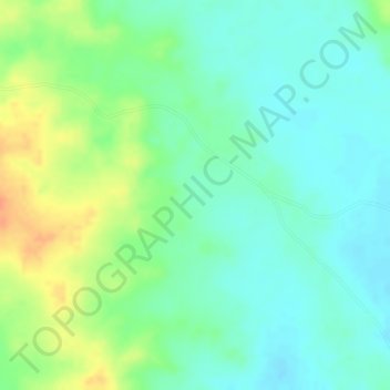
Name: Itagui topographic map, elevation, terrain.

Location: Itagui, Sincé, Montes de María, Sucre, RAP Caribe, Colombia (9.21959 -75.07005 9.23959 -75.05005)

Average elevation: 99 m

Minimum elevation: 82 m

Maximum elevation: 126 m

Gear up for your next adventure:

🥾Waterproof Hiking Shoes - Durable shoes for wet and rugged trails
💧Filtered Water Bottle - Safe drinking water on the go
🦌Outdoor Trail Camera - Monitor wildlife activity near your favorite spots
🥾Approach Shoes - Shoes designed for climbing approaches and rugged trails
🌡️Emergency Mylar Blankets - Compact thermal protection for unexpected nights outdoors

As an Amazon Associate, this site earns from qualifying purchases at no extra cost to you.