Geolocate

Miles City topographic map

Click on the map to display elevation.

About this map
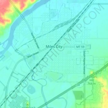
Name: Miles City topographic map, elevation, terrain.

Location: Miles City, Custer County, Montana, United States (46.38294 -105.86553 46.42780 -105.81047)

Average elevation: 724 m

Minimum elevation: 711 m

Maximum elevation: 794 m

Gear up for your next adventure:

🥫Freeze-Dried Meals - Lightweight, high-calorie nutrition for multi-day treks
🧢Hiking Hat - Sun-protective and breathable hats for long treks
💧Reusable Water Bottle - Durable water bottles for hydration on trails
🧢Sun Protection Cap - Breathable cap to protect from sun exposure
🧥Softshell Jacket - Windproof and breathable jacket for hiking

As an Amazon Associate, this site earns from qualifying purchases at no extra cost to you.