Geolocate

Nekemte topographic map

Click on the map to display elevation.

About this map

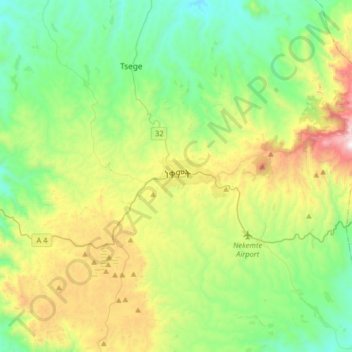
Name: Nekemte topographic map, elevation, terrain.

Location: Nekemte, Oromia Region, Ethiopia (8.92797 36.38731 9.24797 36.70731)

Average elevation: 1,910 m

Minimum elevation: 1,436 m

Maximum elevation: 3,032 m

Gear up for your next adventure:

🥾Light Hiking Boots - Lightweight and comfortable boots for day hikes
🥾Trail Hiking Boots - Supportive boots for rough trails
🧤Insulated Winter Gloves - Heavy-duty protection for sub-zero Canadian adventures
🎒Backpack Rain Cover - External shield to keep your entire pack dry
🧥Fleece Jacket - Warm and lightweight jacket for layering

As an Amazon Associate, this site earns from qualifying purchases at no extra cost to you.