Geolocate

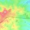
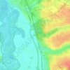
Montluçon topographic map

Click on the map to display elevation.

About this map
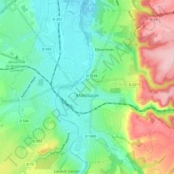
Name: Montluçon topographic map, elevation, terrain.

Location: Montluçon, Allier, Auvergne-Rhône-Alpes, Metropolitan France, 03100, France (46.31313 2.57004 46.37244 2.64549)

Average elevation: 256 m

Minimum elevation: 191 m

Maximum elevation: 385 m

Other topographic maps

Click on a map to view its topography, its elevation and its terrain.

Les Turiers

France > Auvergne-Rhône-Alpes > Allier > Beaulon

Average elevation: 241 m

Gagnon

France > Auvergne-Rhône-Alpes > Allier > Arfeuilles

Average elevation: 553 m

Garbat

France > Auvergne-Rhône-Alpes > Allier > Billy

Average elevation: 276 m

Le Bouchon

France > Auvergne-Rhône-Alpes > Allier > Tronget

Average elevation: 430 m

Les Noix

France > Auvergne-Rhône-Alpes > Allier > Cressanges

Average elevation: 396 m

Champage

France > Auvergne-Rhône-Alpes > Allier > Coutansouze

Average elevation: 550 m

Péraclos

France > Auvergne-Rhône-Alpes > Allier > Chouvigny

Average elevation: 417 m

Les Boudeaux

France > Auvergne-Rhône-Alpes > Allier > Le Pin

Average elevation: 282 m

Gear up for your next adventure:

🧼Biodegradable Camp Soap - Environmentally friendly cleaning for gear and body
🥾Trekking Poles - Adjustable trekking poles to reduce knee stress and improve stability
🛌Insulated Sleeping Pad - Critical thermal barrier between you and the cold ground
💧Collapsible Water Bottle - Space-saving water bottle for outdoor activities
🕯️Camping Lantern - Illuminates your entire campsite with high-efficiency LEDs

As an Amazon Associate, this site earns from qualifying purchases at no extra cost to you.