Geolocate

French Lick topographic map

Click on the map to display elevation.

About this map

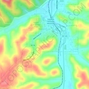
Name: French Lick topographic map, elevation, terrain.

Location: French Lick, Orange County, Indiana, United States (38.52687 -86.64297 38.56156 -86.60336)

Average elevation: 186 m

Minimum elevation: 142 m

Maximum elevation: 248 m

Gear up for your next adventure:

📷Outdoor Action Camera - Capture high-elevation views and rugged adventures
🦯Trekking Poles - Reduced impact on joints for steep topographic climbs
🥾Waterproof Trail Shoes - Shoes designed to handle wet terrain
🥾Waterproof Hiking Shoes - Durable shoes for wet and rugged trails
🧦Outdoor Socks - Durable socks designed for hiking and outdoor sports

As an Amazon Associate, this site earns from qualifying purchases at no extra cost to you.