Geolocate

Retiro topographic map

Click on the map to display elevation.

About this map
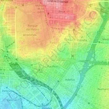
Name: Retiro topographic map, elevation, terrain.

Location: Retiro, Madrid, Community of Madrid, Spain (40.39451 -3.69413 40.42173 -3.65877)

Average elevation: 638 m

Minimum elevation: 586 m

Maximum elevation: 698 m

Other topographic maps

Click on a map to view its topography, its elevation and its terrain.
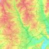
Madrid

Spain > Community of Madrid > Madrid

Average elevation: 650 m

Gear up for your next adventure:

🧦Thermal Socks - Warm socks for winter hiking or camping
🩹Moleskin Blister Pads - Direct protection for painful foot pressure points
🛶Kayak Accessories - Essential gear for safe and fun kayaking adventures
🧥Waterproof Jacket - Lightweight rain jackets for hiking and outdoor activities
🥾Lightweight Hiking Boots - Boots for comfort and mobility on long hikes

As an Amazon Associate, this site earns from qualifying purchases at no extra cost to you.