Geolocate

Brennilis topographic map

Click on the map to display elevation.

About this map
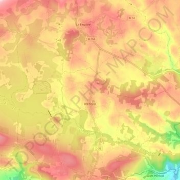
Name: Brennilis topographic map, elevation, terrain.

Location: Brennilis, Châteaulin, Finistère, Brittany, Metropolitan France, 29690, France (48.33930 -3.90214 48.38772 -3.78591)

Average elevation: 237 m

Minimum elevation: 91 m

Maximum elevation: 330 m

Other topographic maps

Click on a map to view its topography, its elevation and its terrain.

Saint-Jean Balanan

France > Brittany > Finistère > Plouvien

Average elevation: 56 m

Gear up for your next adventure:

🛏️Camping Sleeping Mat - Comfortable mats for sleeping outdoors
🩹Moleskin Blister Pads - Direct protection for painful foot pressure points
🛶Canoe Life Vest - Safety vest for water sports
🥾Approach Shoes - Shoes designed for climbing approaches and rugged trails
⛺Camping Groundsheet - Protect your tent from moisture and dirt

As an Amazon Associate, this site earns from qualifying purchases at no extra cost to you.