Geolocate

Wakeman topographic map

Click on the map to display elevation.

About this map

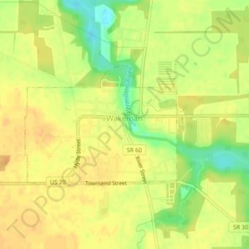
Name: Wakeman topographic map, elevation, terrain.

Location: Wakeman, Wakeman Township, Huron County, Ohio, United States (41.24751 -82.41401 41.26032 -82.39211)

Average elevation: 263 m

Minimum elevation: 241 m

Maximum elevation: 273 m

Gear up for your next adventure:

🕯️Camping Lantern - Illuminates your entire campsite with high-efficiency LEDs
🔨Vehicle Emergency Tool - Safety tool for remote road trips to trailheads
🦟Insect Repellent - Keep mosquitoes and black flies away in wooded areas
🛌Insulated Sleeping Pad - Critical thermal barrier between you and the cold ground
💧Reusable Water Bottle - Durable water bottles for hydration on trails

As an Amazon Associate, this site earns from qualifying purchases at no extra cost to you.