Geolocate

Salardú topographic map

Click on the map to display elevation.

About this map
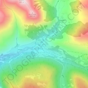
Name: Salardú topographic map, elevation, terrain.

Location: Salardú, Naut Aran, Val d'Aran, Lleida, Catalonia, 25539, Spain (42.68826 0.88499 42.72826 0.92499)

Average elevation: 1,596 m

Minimum elevation: 1,168 m

Maximum elevation: 2,281 m

Gear up for your next adventure:

🥘Camping Cookware Set - Compact nesting pots and pans for trail cooking
🧭GPS Tracker - Track your location in remote areas safely
🛏️Camping Sleeping Mat - Comfortable mats for sleeping outdoors
🧥Thermal Layer - Insulating layer for cold outdoor conditions
🧤Rechargeable Heated Gloves - Extreme warmth for Canadian winter expeditions

As an Amazon Associate, this site earns from qualifying purchases at no extra cost to you.