
Village of Alfred topographic map
Interactive map
Click on the map to display elevation.
About this map
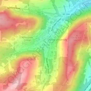
Name: Village of Alfred topographic map, elevation, terrain.
Average elevation: 597 m
Minimum elevation: 494 m
Maximum elevation: 686 m
The elevation of Alfred is about 1,700 feet (520 m) but rises to a high point of 2,355 feet (718 m) at the summit of Jericho Hill just south of the village. The hills greatly affect the weather in the region, which results in quick changes as well as different conditions in neighboring valleys.