Geolocate

Round Hill topographic map

Click on the map to display elevation.

About this map

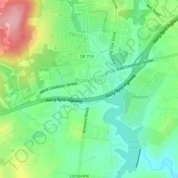
Name: Round Hill topographic map, elevation, terrain.

Location: Round Hill, Loudoun County, Virginia, United States (39.12350 -77.77397 39.13913 -77.76102)

Average elevation: 177 m

Minimum elevation: 130 m

Maximum elevation: 265 m

Gear up for your next adventure:

🚲Handlebar Phone Mount - View topographic-map.com live while cycling
🥾Hiking Leggings - Comfortable leggings for outdoor activities
🥾Trekking Poles - Adjustable trekking poles to reduce knee stress and improve stability
Camping Tent - Weather-resistant tents suitable for 2 to 6 people
🧭Orienteering Kit - Tools for map reading and navigation in the wild

As an Amazon Associate, this site earns from qualifying purchases at no extra cost to you.