Geolocate

Aberlemno topographic map

Click on the map to display elevation.

About this map

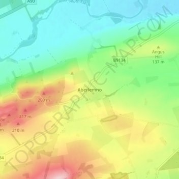
Name: Aberlemno topographic map, elevation, terrain.

Location: Aberlemno, Angus, Scotland, DD8 3PE, United Kingdom (56.67152 -2.80111 56.71152 -2.76111)

Average elevation: 114 m

Minimum elevation: 33 m

Maximum elevation: 247 m

Gear up for your next adventure:

💡Solar Camping Lamp - Eco-friendly lighting for campsites
💧Hydration Pack - Hands-free hydration system for long hikes
🛶Canoe Life Vest - Safety vest for water sports
🎒Backpack Rain Cover - External shield to keep your entire pack dry
🧭Orienteering Kit - Tools for map reading and navigation in the wild

As an Amazon Associate, this site earns from qualifying purchases at no extra cost to you.