
Mount Emei topographic map
Click on the map to display elevation.
Mount Emei
The flora of Mount Emei varies with elevation, from subtropical evergreen forests at lower elevations to subalpine shrubland around the summit. The mountain is notable for both its species richness and abundance of endemic plants.
About this map
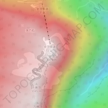
Name: Mount Emei topographic map, elevation, terrain.
Location: Mount Emei, Emeishan, Emeishan City, Leshan, Sichuan, China (29.52262 103.33681 29.52272 103.33691)
Average elevation: 2,434 m
Minimum elevation: 1,273 m
Maximum elevation: 3,086 m