
Mount Banahaw topographic map
Click on the map to display elevation.
Mount Banahaw
The andesitic Banahaw volcanic complex is composed of several stratovolcanoes with Mount Banahaw, the largest with a maximum elevation of 2,170 metres (7,119 ft) above mean sea level. The summit is topped by a 1.5 by 3.5 kilometres (0.93 mi × 2.17 mi) and 210 metres (690 ft) deep crater that is breached on the southern rim believed to have been caused by the 1730 eruption. Prior to 1730, a lake occupied the summit crater of Mount Banahaw. The resulting flood destroyed the town of Sariaya, Quezon located below the mountain.
About this map
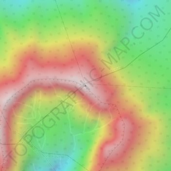
Name: Mount Banahaw topographic map, elevation, terrain.
Location: Mount Banahaw, Tayabas, Calabarzon, 4327, Philippines (14.06748 121.49227 14.06758 121.49237)
Average elevation: 1,730 m
Minimum elevation: 1,261 m
Maximum elevation: 2,145 m