Geolocate

Chiefland topographic map

Click on the map to display elevation.

About this map

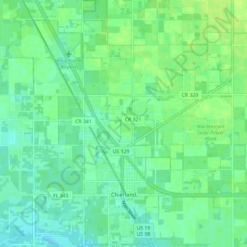
Name: Chiefland topographic map, elevation, terrain.

Location: Chiefland, Levy County, Florida, United States (29.45962 -82.89776 29.53154 -82.83933)

Average elevation: 13 m

Minimum elevation: 7 m

Maximum elevation: 19 m

Gear up for your next adventure:

🥾Light Trekking Boots - Supportive boots for multi-day treks
💡Portable Camping Lamp - Rechargeable lamp for campsite lighting
🧢Outdoor Cap - Protective cap for sun and rain during hikes
💧Collapsible Water Bottle - Space-saving water bottle for outdoor activities
🧊Insulated Water Bottle - Keeps drinks cold in summer and prevents freezing in winter

As an Amazon Associate, this site earns from qualifying purchases at no extra cost to you.