Geolocate

Cape Sable topographic map

Click on the map to display elevation.

About this map

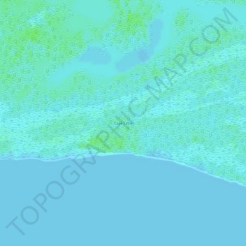
Name: Cape Sable topographic map, elevation, terrain.

Location: Cape Sable, Monroe County, Florida, United States (25.13285 -81.02735 25.13295 -81.02725)

Average elevation: 2 m

Minimum elevation: 0 m

Maximum elevation: 8 m

Other topographic maps

Click on a map to view its topography, its elevation and its terrain.

Fleming Key

United States > Florida > Monroe County > Key West

Average elevation: 0 m

Gear up for your next adventure:

🛁Quick-Dry Microfiber Towel - Space-saving towel that dries rapidly on the move
🚑Survival Whistle - Signal for help across long distances in mountains
🗺️Topographic Maps - Detailed maps to explore trails, mountains, and wilderness areas
🧳Compression Sacks - Maximize space in your backpack by shrinking gear
🧥Thermal Layer - Insulating layer for cold outdoor conditions

As an Amazon Associate, this site earns from qualifying purchases at no extra cost to you.