Geolocate

La Cabrera topographic map

Click on the map to display elevation.

About this map

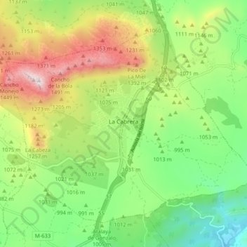
Name: La Cabrera topographic map, elevation, terrain.

Location: La Cabrera, Sierra Norte, Community of Madrid, 28751, Spain (40.84048 -3.65042 40.88873 -3.57101)

Average elevation: 1,057 m

Minimum elevation: 745 m

Maximum elevation: 1,545 m

Gear up for your next adventure:

🥾Hiking Gaiters - Protect legs and shoes from mud, snow, and debris
🥾Mountaineering Boots - Supportive boots for climbing and high-altitude hiking
🧥Softshell Jacket - Windproof and breathable jacket for hiking
💡Solar Camping Lamp - Eco-friendly lighting for campsites
👟Trail Running Shoes - Agile footwear for fast-paced topographic exploration

As an Amazon Associate, this site earns from qualifying purchases at no extra cost to you.