Geolocate

Jackson Hole topographic map

Click on the map to display elevation.

About this map

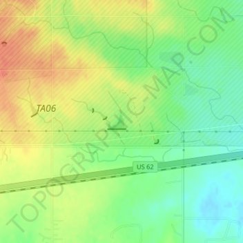
Name: Jackson Hole topographic map, elevation, terrain.

Location: Jackson Hole, Comanche County, Oklahoma, United States (34.64027 -98.67810 34.64194 -98.67566)

Average elevation: 406 m

Minimum elevation: 384 m

Maximum elevation: 427 m

Other topographic maps

Click on a map to view its topography, its elevation and its terrain.

Gear up for your next adventure:

🛌Insulated Sleeping Pad - Critical thermal barrier between you and the cold ground
🔋Emergency Crank Radio - Weather alerts and power without needing batteries
🥾Trail Hiking Socks - Comfortable socks to prevent blisters and fatigue
🥾Waterproof Hiking Boots - Boots keeping your feet dry in wet conditions
💧Reusable Water Bottle - Durable water bottles for hydration on trails

As an Amazon Associate, this site earns from qualifying purchases at no extra cost to you.