
Make a donation
Gear up for your next adventure:
As an Amazon Associate, this site earns from qualifying purchases at no extra cost to you.
Atlantic City topographic map
Click on the map to display elevation.
Make a donation
Gear up for your next adventure:
As an Amazon Associate, this site earns from qualifying purchases at no extra cost to you.
Atlantic City
The city was incorporated in 1854, the same year train service began on the Camden and Atlantic Railroad. Built on the edge of the bay, this served as the direct link of this remote parcel of land with Philadelphia, the sixth-largest city in the United States and largest city in Pennsylvania. The same year, construction of the Absecon Lighthouse, designed by George Meade of the Corps of Topographical Engineers, was approved, with work initiated the next year.
Make a donation
Gear up for your next adventure:
As an Amazon Associate, this site earns from qualifying purchases at no extra cost to you.
About this map
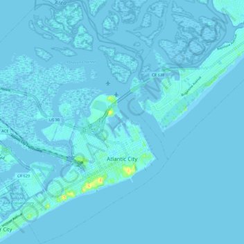
Name: Atlantic City topographic map, elevation, terrain.
Average elevation: 1 m
Minimum elevation: -5 m
Maximum elevation: 30 m
Make a donation
Gear up for your next adventure:
As an Amazon Associate, this site earns from qualifying purchases at no extra cost to you.
Other topographic maps
Click on a map to view its topography, its elevation and its terrain.