Geolocate

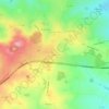
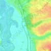
Molles topographic map

Click on the map to display elevation.

About this map
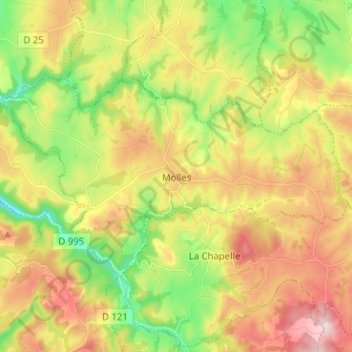
Name: Molles topographic map, elevation, terrain.

Location: Molles, Vichy, Allier, Auvergne-Rhône-Alpes, Metropolitan France, 03300, France (46.08642 3.49345 46.13689 3.61995)

Average elevation: 438 m

Minimum elevation: 302 m

Maximum elevation: 594 m

Other topographic maps

Click on a map to view its topography, its elevation and its terrain.

Les Turiers

France > Auvergne-Rhône-Alpes > Allier > Beaulon

Average elevation: 241 m

Gagnon

France > Auvergne-Rhône-Alpes > Allier > Arfeuilles

Average elevation: 553 m

Garbat

France > Auvergne-Rhône-Alpes > Allier > Billy

Average elevation: 276 m

Le Bouchon

France > Auvergne-Rhône-Alpes > Allier > Tronget

Average elevation: 430 m

Les Noix

France > Auvergne-Rhône-Alpes > Allier > Cressanges

Average elevation: 396 m

Champage

France > Auvergne-Rhône-Alpes > Allier > Coutansouze

Average elevation: 550 m

Péraclos

France > Auvergne-Rhône-Alpes > Allier > Chouvigny

Average elevation: 417 m

Les Boudeaux

France > Auvergne-Rhône-Alpes > Allier > Le Pin

Average elevation: 282 m

Gear up for your next adventure:

🧢Beanie Hat - Keep your head warm in cold weather
🥾Hiking Shorts - Breathable shorts suitable for summer hikes
🧤Insulated Winter Gloves - Heavy-duty protection for sub-zero Canadian adventures
❄️Traction Ice Cleats - Slip-on spikes for icy trails and winter hiking
🥾Waterproof Hiking Boots - Essential footwear for rugged terrain and wet Canadian trails

As an Amazon Associate, this site earns from qualifying purchases at no extra cost to you.