
Pindi küla topographic map
Interactive map
Click on the map to display elevation.
About this map
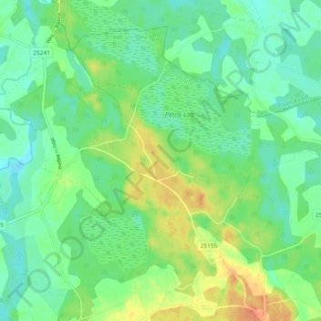
Name: Pindi küla topographic map, elevation, terrain.
Location: Pindi küla, Võru vald, Võru maakond, 65410, Estonia (57.87733 27.16437 57.91906 27.25800)
Average elevation: 76 m
Minimum elevation: 62 m
Maximum elevation: 102 m