
Thank you for supporting this site ❤️
Make a donation
Make a donation
Gear up for your next adventure:
As an Amazon Associate, this site earns from qualifying purchases at no extra cost to you.
Achoora topographic map
Click on the map to display elevation.
Thank you for supporting this site ❤️
Make a donation
Make a donation
Gear up for your next adventure:
As an Amazon Associate, this site earns from qualifying purchases at no extra cost to you.
About this map
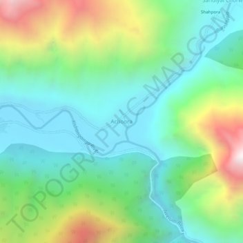
Name: Achoora topographic map, elevation, terrain.
Location: Achoora, Gurez, Bandipore District, Jammu and Kashmir, India (34.61409 74.85263 34.65409 74.89263)
Average elevation: 2,850 m
Minimum elevation: 2,416 m
Maximum elevation: 3,862 m
Thank you for supporting this site ❤️
Make a donation
Make a donation
Gear up for your next adventure:
As an Amazon Associate, this site earns from qualifying purchases at no extra cost to you.