Geolocate

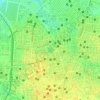
Indore topographic map

Click on the map to display elevation.

About this map
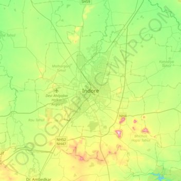
Name: Indore topographic map, elevation, terrain.

Location: Indore, Juni Indore Tahsil, Indore, Madhya Pradesh, 452001, India (22.56036 75.70820 22.88036 76.02820)

Average elevation: 555 m

Minimum elevation: 445 m

Maximum elevation: 775 m

Other topographic maps

Click on a map to view its topography, its elevation and its terrain.
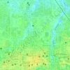
Saraswati

India > Madhya Pradesh > Juni Indore Tahsil

Average elevation: 564 m

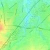
ganga river

India > Madhya Pradesh > Juni Indore Tahsil > Indore

Average elevation: 556 m

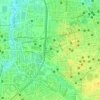
ganga river

India > Madhya Pradesh > Juni Indore Tahsil > Indore

Average elevation: 556 m

Gear up for your next adventure:

🌡️Emergency Mylar Blankets - Compact thermal protection for unexpected nights outdoors
🧥Waterproof Jacket - Lightweight rain jackets for hiking and outdoor activities
🦟Insect Repellent - Keep mosquitoes and black flies away in wooded areas
🧣Merino Neck Gaiter - Protects against wind, sun, and cold at high altitudes
🧦Merino Wool Socks - Moisture-wicking comfort for long-distance hiking

As an Amazon Associate, this site earns from qualifying purchases at no extra cost to you.