
Make a donation
Gear up for your next adventure:
As an Amazon Associate, this site earns from qualifying purchases at no extra cost to you.
Tarapacá topographic map
Click on the map to display elevation.
Make a donation
Gear up for your next adventure:
As an Amazon Associate, this site earns from qualifying purchases at no extra cost to you.
About this map
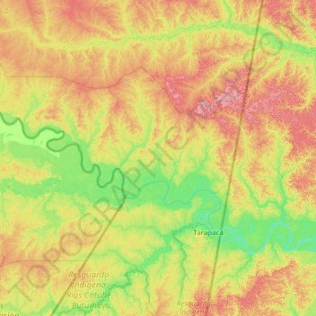
Name: Tarapacá topographic map, elevation, terrain.
Location: Tarapacá, Amazonas, RAP Amazonía, Colombia (-3.21055 -70.49653 -2.00295 -69.53500)
Average elevation: 101 m
Minimum elevation: 52 m
Maximum elevation: 187 m
Make a donation
Gear up for your next adventure:
As an Amazon Associate, this site earns from qualifying purchases at no extra cost to you.
Other topographic maps
Click on a map to view its topography, its elevation and its terrain.
Puerto Nariño
Colombia > Amazonas > Puerto Nariño
Es el segundo municipio del departamento de Amazonas, tanto en importancia como en extensión. Está situado a orillas del río Loretoyaco, a 87 km de Leticia, la capital departamental, y a 1240 km de Bogotá (la capital del país) Tiene una altitud de 82 m s. n. m., registrando una temperatura media de 30 °C.
Average elevation: 74 m
Make a donation
Gear up for your next adventure:
As an Amazon Associate, this site earns from qualifying purchases at no extra cost to you.