

Mount Marcy topographic map
Click on the map to display elevation.
Mount Marcy
Mount Marcy is the highest point in the Adirondack Mountains and the U.S. state of New York, with an elevation of 5,343.1 feet (1,628.6 m). It is located in the town of Keene in Essex County. The mountain is in the heart of the High Peaks Wilderness Area in Adirondack Park. Like the surrounding Adirondack Mountains, Marcy was heavily affected by large glaciers during recent ice ages, which deposited boulders on the mountain slopes and carved valleys and depressions on the mountain. One such depression is today filled by Lake Tear of the Clouds, which is often cited as the highest source of the Hudson River. The majority of the mountain is covered by hardwood and spruce-fir forests, although the highest few hundred feet are above the tree line. The peak is dominated by rocky outcrops, lichens, and alpine plants. The mountain supports a diverse number of woodland mammals and birds.
About this map
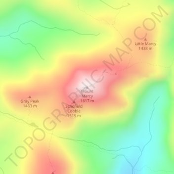
Name: Mount Marcy topographic map, elevation, terrain.
Average elevation: 1,289 m
Minimum elevation: 985 m
Maximum elevation: 1,615 m