Geolocate

Manali topographic map

Click on the map to display elevation.

About this map
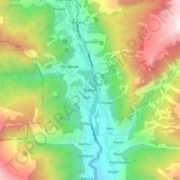
Name: Manali topographic map, elevation, terrain.

Location: Manali, Kullu, Himachal Pradesh, 175131, India (32.20546 77.14729 32.28546 77.22729)

Average elevation: 2,606 m

Minimum elevation: 1,722 m

Maximum elevation: 4,020 m

Gear up for your next adventure:

🥾Mountaineering Boots - Supportive boots for climbing and high-altitude hiking
🎒Fully Waterproof Backpack - Total protection for photography gear and electronics
🧶550 Survival Paracord - Versatile utility cord for emergency repairs and rigging
🧥Waterproof Pants - Keep dry during rainy hiking conditions
🌬️Windproof Camp Stove - Efficient cooking even on exposed mountain peaks

As an Amazon Associate, this site earns from qualifying purchases at no extra cost to you.