Geolocate

El Jarillo topographic map

Click on the map to display elevation.

About this map

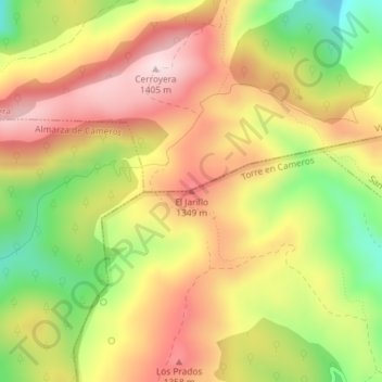
Name: El Jarillo topographic map, elevation, terrain.

Location: El Jarillo, Torre en Cameros, Rioja, Spain (42.26205 -2.54440 42.26215 -2.54430)

Average elevation: 1,236 m

Minimum elevation: 1,034 m

Maximum elevation: 1,403 m

Gear up for your next adventure:

🥾Hiking Gaiters - Protect legs and shoes from mud, snow, and debris
🧥Packable Rain Jacket - Breathable waterproof layer for unpredictable weather
📷Outdoor Action Camera - Capture high-elevation views and rugged adventures
🩹Moleskin Blister Pads - Direct protection for painful foot pressure points
👟Leg Gaiters - Keep debris, mud, and snow out of your boots

As an Amazon Associate, this site earns from qualifying purchases at no extra cost to you.